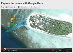
Explore the ocean with Google Maps? Well, yes, in a way.
This recent project announcement certainly pushed all kinds of buttons for me. As a diver, amateur marine biologist, and technophile, this kind of thing gives me the all-overs. And what a laudable goal: informing the public about the oceans by virtually taking them beneath the surface in ways that aren’t possible with traditional images or video.
Of course, a 360 degree high-res panorama isn’t being there. You’re not checking your air gauge or looking over your shoulder for sharks. It’s a still image, and one deliberately selected for its visual appeal – so we have Susan Davis’s Spectacular Nature all over again. Do we need to make Nature entertaining and photogenic–and invoke the technological deities–to get people to attend to natural systems? Apparently so, from the way this story is framed here and here.*
On the other hand, as many have pointed out, virtual tours can have a lower impact than actual ones (no big carbon-spewing jet flying me to the dive site, where I accidentally break coral formations), and they make distant places accessible to more people. Bruno Latour observes that science itself serves as both the cause of many of our problems and the tool by which we identify and solve some of them; virtual-reality seems destined to follow a similarly ambiguous path.
As I said when my sister-in-law posted this story to my Facebook wall, I can’t wait for the haptic feedback version — maybe on a recumbent treadmill where I could get some exercise by pretending to swim. Meanwhile, a somewhat more (phenomenologically) embodied form of virtual reef diving is available at places like the Divers Alert Network’s island in Second Life.
*The latter further frames this within a context of technology-as-business, completely mystifying the connection between commodification and environmental degradation.
